Between the river and Carling
Six neighbourhoods on Ottawa's west side: the shops and cafés of Westboro Village, the beach and pathways along the Ottawa River, and the post-war streets of Highland Park, McKellar Park, Carlingwood and Woodroffe North. Every fact on this site links to its source.
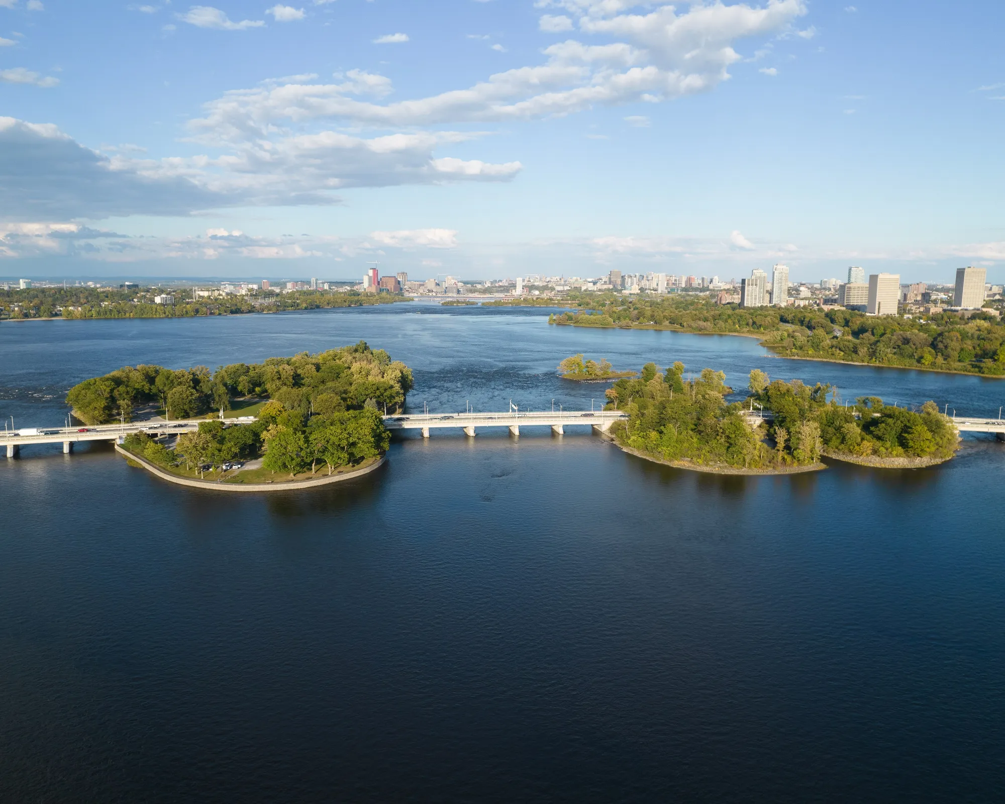
Champlain Bridge and the Ottawa River islands near Westboro. Photo: Harleyd613, CC0, via Wikimedia Commons
westboro.homes is an independent guide to 6 neighbourhoods in Ottawa's west end, between the Ottawa River and Carling Avenue: Westboro, Westboro Beach, Highland Park, McKellar Park, Carlingwood and Woodroffe North. It maps 22 schools, 28 parks and recreation places and 43 shops and restaurants, each with its source. 5 O-Train stations are under construction across the area (opening listed for 2027, provisional).
Updated · Facts on this page link to their sources
Six neighbourhoods
Where each one starts and ends, how it grew, and what is within a walk of home.
 01
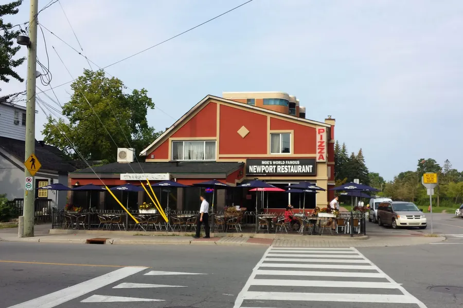
Westboro
The west end's original village: Richmond Road shops and cafes, early-1900s streets, and the Ottawa River a few blocks north.
 02
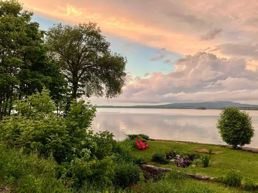
Westboro Beach
The riverside streets between the Transitway and the Kichi Zibi Mikan, built around one of Ottawa's oldest swimming beaches.
 03
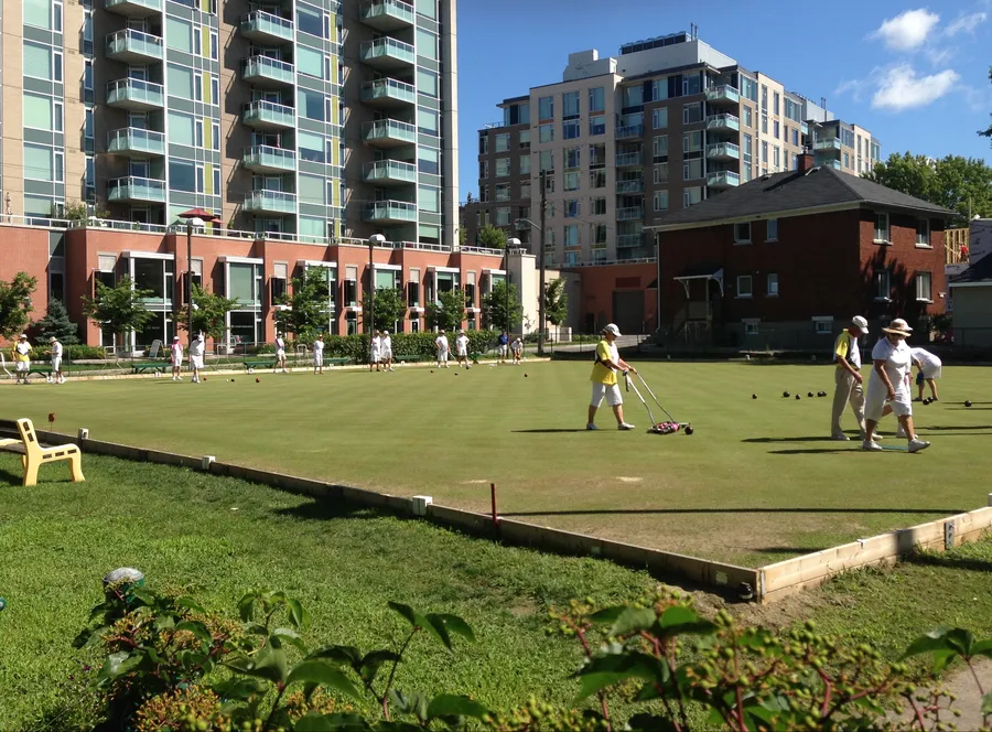
Highland Park
Westboro's leafy south-west quarter: early-1900s lots, two high schools, the Dovercourt pool and a lawn-bowling green dating from 1914.
 04
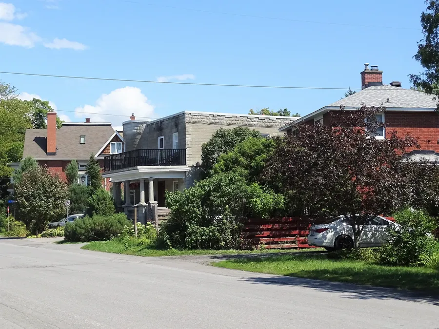
McKellar Park
A residential grid between Denbury and Sherbourne, running from Carling Avenue up to the river, with its own park, fieldhouse and rink.
 05
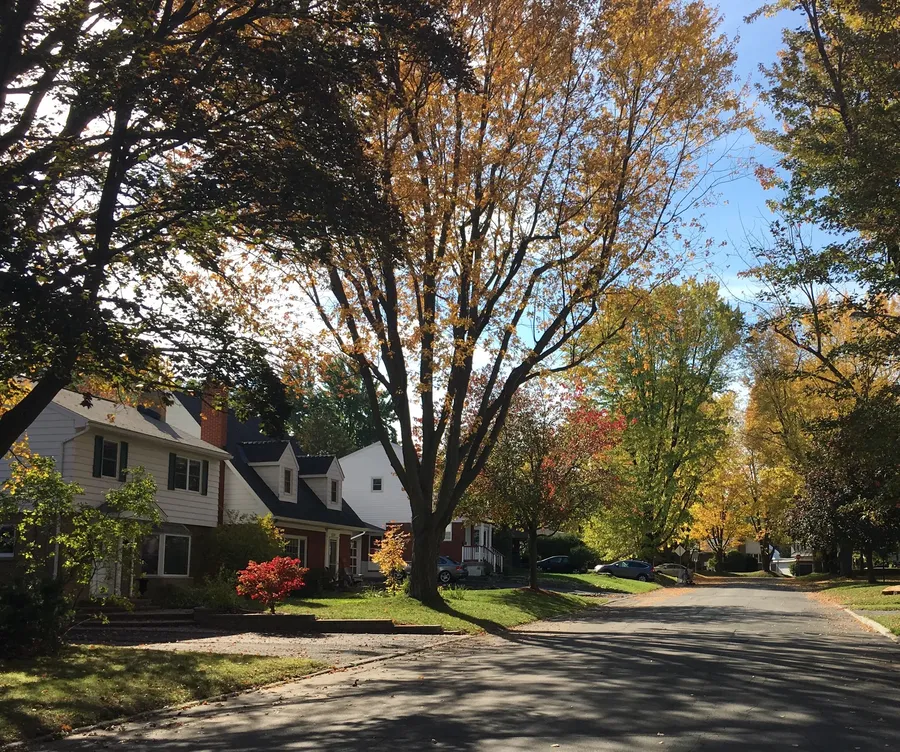
Carlingwood
Mid-century streets built around Carlingwood Shopping Centre, with schools, parks and the library all within walking distance.
 06
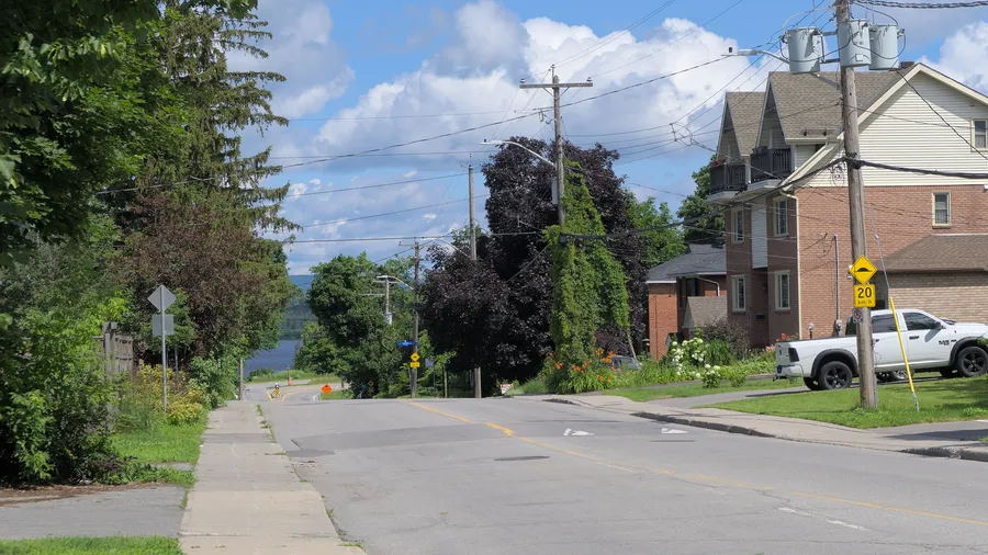
Woodroffe North
A small riverside enclave north of Richmond Road around Woodroffe Avenue, where early cottages have given way to houses.
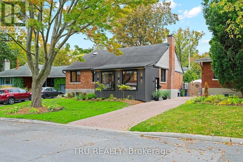
For sale now
Each home has its own website; tap through for photos, rooms and the open house.
Latest guides
Researched from public sources, with every source linked on the page.
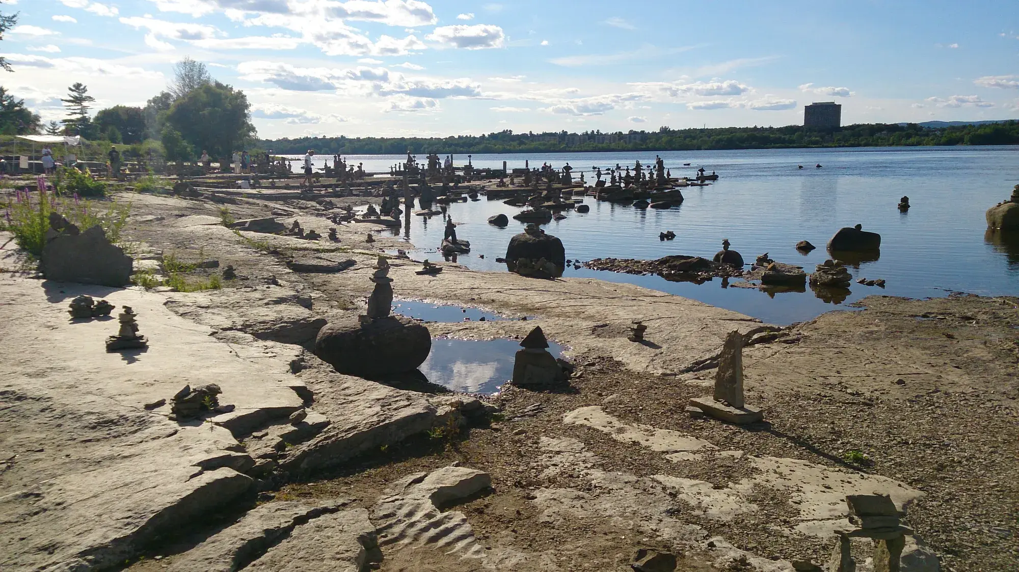 Parks & trails
The river, the beach and the parks
Westboro Beach, the river pathway, the old streetcar line and the neighbourhood parks.
Updated October 2026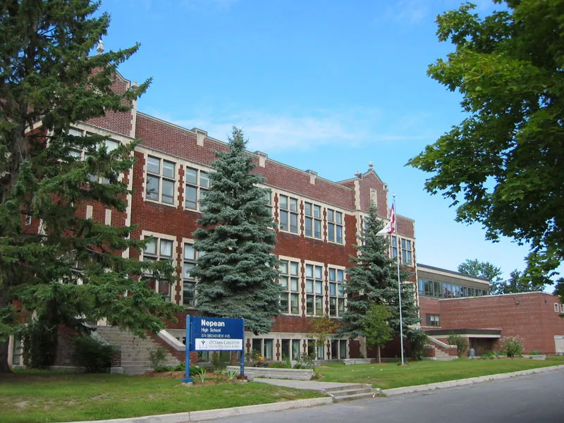 Schools
Every school, every board
English and French, public and Catholic: grades, programs and distances.
Updated October 2026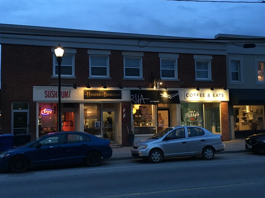 Shops & dining
Main streets, markets and cafés
Richmond Road, Wellington West and Carlingwood, place by place.
Updated October 2026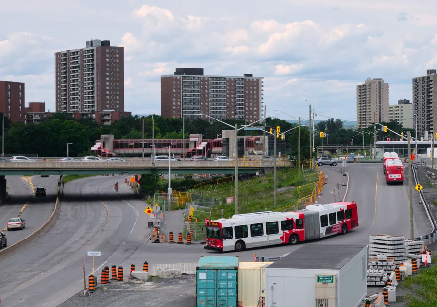 Transit
The train is coming west
Where the O-Train's west extension stands, plus buses, pathways and drive times.
Updated October 2026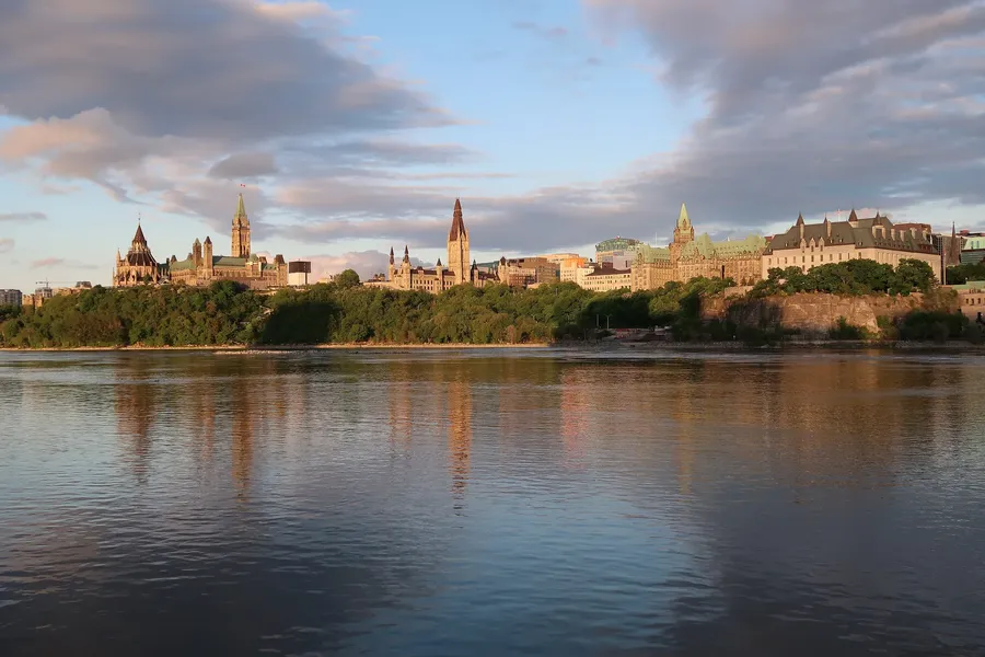 Market
The market, honestly
OREB's latest numbers for Ottawa, what they mean, and what they don't.
Updated October 2026
The area at a glance
From the Ottawa River south to Carling Avenue, and from Island Park Drive and Tweedsmuir Avenue west to Woodroffe and Pooler avenues. Neighbourhood lines follow the community associations and Wikipedia, and some overlap in practice.
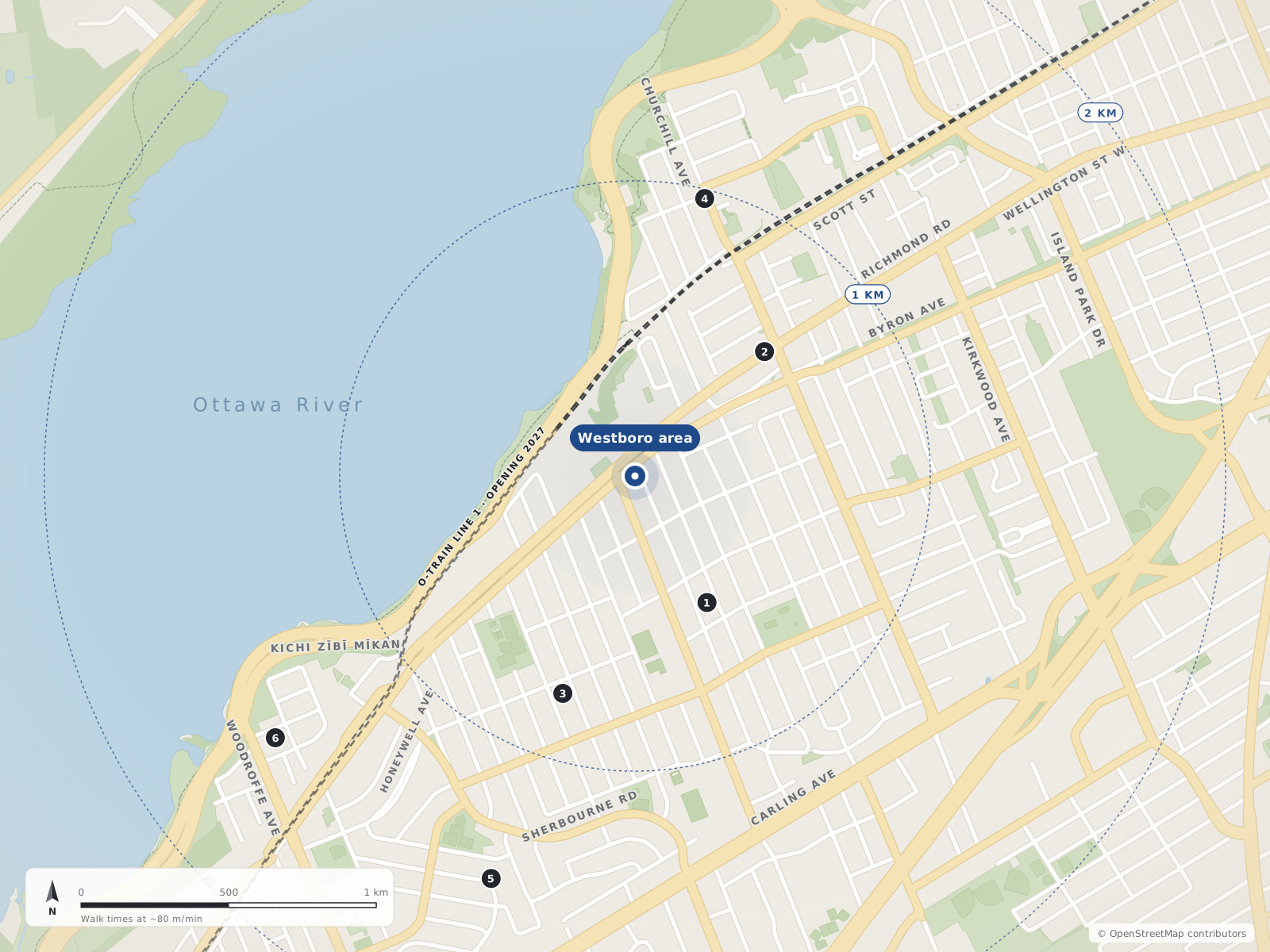
Neighbourhood centres
- 1Highland Park490 m
- 2Westboro610 m
- 3McKellar Park780 m
- 4Westboro Beach970 m
- 5Carlingwood1.4 km
- 6Woodroffe North1.5 km
The market, honestly
Citywide Ottawa figures from OREB's monthly MLS® report. They describe the whole city, not one neighbourhood.
- $705,100Single-family benchmark price (MLS® HPI)Nearly unchanged from Sept 2025; down 3.0% from August
- 4.4Months of inventory, single-familyAll homes: 4.8, up from 4.1 a year earlier
- $685,640Average sale price, all homesDown 1.0% from Sept 2025
- 1,010Homes sold in SeptemberDown 6.6% from Sept 2025
Figures for September 2026, released October 5, 2026 · Source: oreb.ca
Quick answers
Short answers first; each links to the full answer and its sources.
Is Westboro a good place to live in Ottawa?
Westboro is a west-end Ottawa neighbourhood built around Richmond Road, its main street of shops, cafés and restaurants. From the neighbourhood centre, an elementary school (Churchill Alternative) is about a 3-minute walk, two grocery stores are 8 to 10 minutes away, and the Ottawa River and Westboro Beach are about 0.7 km north.
As of 2026-10-30 · ons-sqo.ca ons-sqo.ca
Where will the O-Train stations be in Westboro?
The O-Train Line 1 west extension will add Westboro station (on Scott Street), Kichi Zìbì station (formerly Dominion, near Richmond Road and Westboro Beach), Sherbourne station and New Orchard station (both underground along the Byron Linear Tramway Park). Lincoln Fields will be the junction where Lines 1 and 3 split.
As of 2026-10 · octranspo.com octranspo.com
What schools are in or near Westboro, Ottawa?
The closest school-board elementary schools to the Westboro centre are Churchill Alternative School (about a 3-minute walk), Hilson Avenue Public School (14 minutes) and Broadview Public School (18 minutes), all Ottawa-Carleton District School Board. The nearest high schools are Nepean High School (17 minutes, OCDSB, grades 9–12) and Notre Dame High School (25 minutes, Ottawa Catholic School Board, grades 7–12).
As of 2026-10-30 · westboro.homes openstreetmap.org
What neighbourhoods make up the Westboro area of Ottawa?
westboro.homes covers six neighbouring west-end Ottawa communities: Westboro, Westboro Beach, Highland Park, McKellar Park, Carlingwood and Woodroffe North. Together they run from the Ottawa River south to Carling Avenue, and from Island Park Drive and Tweedsmuir Avenue west to Woodroffe and Pooler avenues.
As of 2026-10-30 · en.wikipedia.org westborocommunityassociation.ca
How much do houses cost in Westboro, Ottawa?
The Ottawa Real Estate Board does not publish neighbourhood-level prices in its monthly release. Citywide, OREB's single-family benchmark price (MLS® HPI) was $705,100 in September 2026, nearly unchanged from September 2025, and the average sale price of all homes was $685,640.
As of 2026-09 · oreb.ca westboro.homes
Is Westboro good for families with children?
Here are the facts families usually ask about. From the Westboro centre, Churchill Alternative School is about a 3-minute walk and Hilson Avenue Public School about 14 minutes, Westboro Kiwanis Park and Lion's Park have wading pools, and Westboro Beach has a supervised swim area in summer.
As of 2026-10-30 · westboro.homes openstreetmap.org